What Is GIS?
A Geographic Information System (GIS) combines very sophisticated computer technology and trained people to develop digital models of the world around us. These models of the world can help us to understand and plan for the future of communities and regions more effectively. A GIS includes capabilities for digital data creation, the storage and retrieval of digital data, the manipulation and analysis of those data, and the presentation of data using maps, graphs, tables, and other displays.
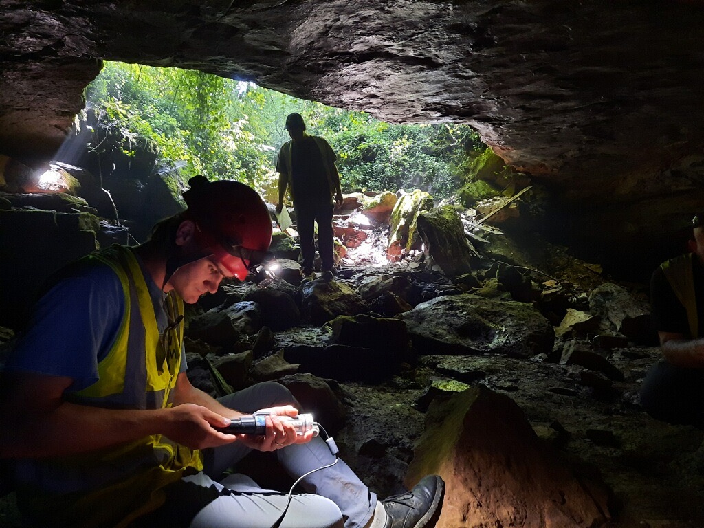
Digital data creation involves ways of taking the world that we see around us and representing it in a machine-readable form. Global Positioning Systems (GPS) technology provides a high-tech way of collecting geographic data. A hand-held GPS unit in the field receives signals from satellites to determine the latitude, longitude, and elevation to within less than one meter of a person's location on the Earth's surface. This technology can be used to build GIS databases for mapping features such as roads, property lines, buildings, wetlands, trees, manhole covers, and a variety of other features.
Once data are collected, it is stored in a computer database. Users can then retrieve selective geospatial information from the database by making queries. A water department, for example, interested in preventative maintenance might ask the GIS to identify locations of PVC water pipes that are six inches in diameter and were last maintained prior to 2014. The capability to query the GIS database and display the results on a map is a rather simple, yet powerful tool.
Geographic Information Science (or GIScience) is the scientific discipline studying the theory and concepts providing a base for the effective use of all GISystems. GIScience also studies data structures and methods for capturing, modeling, processing, and analyzing geographic information or simply the science behind geographic information. GIScience addresses the “how,” such as how to model spatial features like a highway, building, or something as simple as a body of water like a creek or shoreline which can be complex due to high and low tides. The foundation of analyzing geospatial features is understood through GIScience in helping explain spatial patterns or trends and GIScience is also concerned with how to store and visualize those features across different platforms. GISystems addresses the “what” and “where” and GIScience addresses the "how." GIScience is the foundation for effective GISystems use and how it plays a role in society.

What is a STEM degree?
A STEM degree focuses on science, technology, engineering, and math. GIScience focuses heavily on technology.
WorldWideLearn positions Geographic Information Science in their list of the Top 25 Best STEM Majors for 2019 “…with the fastest growth rate among all top STEM occupations between 2014 and 2024.” You can emphasize your degree with GIS in the department's major in Environmental, Sustainability, and Geographic Studies.
Ready to Learn More? Contact our Program Coordinator:

- Instructor II, GISP, Director of Geospatial Technologies Lab, Environmental, Sustainability, and Geographic Studies Program Coordinator, GIS Certificate Program Coordinator, WKU ESRI License Manager
Some of the links on this page may require additional software to view.

