Geographic Information Science Programs & Certificates
Find Your Program
5009
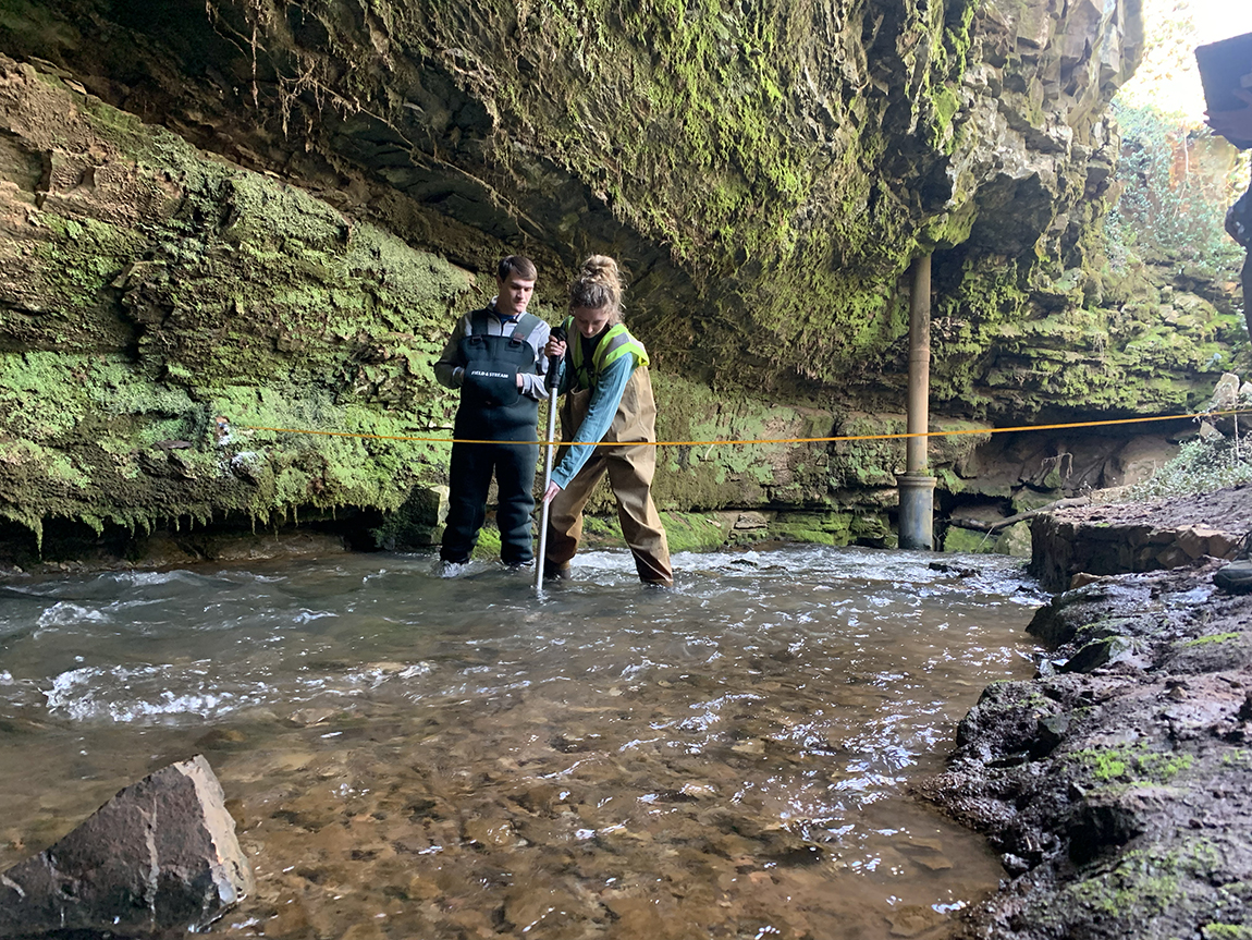
This program is the largest such program in Kentucky or Tennessee. Students can become more directly involved in faculty-sponsored research with opportunities for co-authorship of peer-reviewed research articles and presentation of research results at professional meetings, conferences, and workshops. Faculty in the department research a variety of human-environment issues that both inform the coursework students take and provide students with opportunities to engage in a number of projects that directly influence the human condition. GIS courses taken in this major will have the GISC designation, which adds clarity when applying for professional certification in GIS. GIS courses can be counted towards both the GISP certification and ESGS major. As a result, you may earn a Certificate in GIS while working towards your degree in ESGS.
In general, this degree requires a minimum of 53 semester hours of GIS (GISC) and/or geography (GEOG) courses, plus supporting coursework. A minor or second major is not required. Students majoring in ESGS learn the concepts and skills necessary for a variety of career opportunities that require a solid foundation in spatial thinking and analysis.
174
The department's Geographic Information Systems (GIS) certificate program is designed to provide students with the practical GIS skills necessary for success in a variety of careers. This certificate program is designed for students in a variety of disciplines that involve the analysis and mapping of geographic data. Students who complete the program will have a solid foundation that spans the collection, management, analysis, automation, and display of data using GIS technology. Students gain practical experience by completing projects that require the use of sophisticated GIS functions. Students will also learn how to develop and implement customized GIS applications. The certificate may be completed 100% online for non-majors and off-campus students only.
Department of Earth, Environmental, & Atmospheric Sciences
Western Kentucky University
Environments Sciences & Technology Hall
-GIS Program Director
Instructor II of GIS
Geospatial Technologies Lab Director
- amy.nemon@wku.edu
270-745-3082
Some of the links on this page may require additional software to view.